Ground Control Point Integration
Supply your GCPs alongside your imagery and we handle the rest — integrated into processing, validated, and delivered in your coordinate system.
Overview
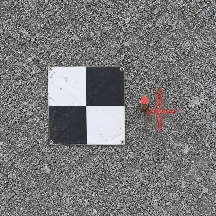
Ground control points are what transform a drone dataset from a relative model into something that sits in the real world at survey accuracy. Without them, outputs are only as reliable as the drone's onboard GNSS. With good GCPs distributed across the site and properly surveyed in, the photogrammetric model is constrained to ground truth.
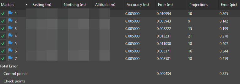
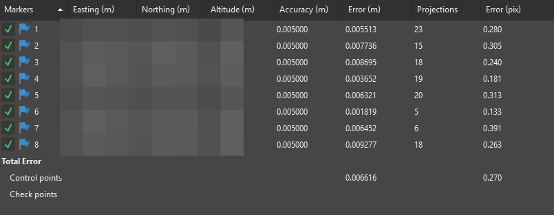
We integrate your GCP file directly into the processing workflow — not as a post-process correction — and validate residuals before delivery. The final outputs are set to your coordinate system, whether that is NZTM2000, a local grid, or a project-specific datum. A residual report is included so you can see exactly how each control point performed.
What's included
Full GCP integration
Your GCPs are integrated directly into the photogrammetric processing workflow — not applied as an afterthought.
Your coordinate system applied
Outputs are set to match your coordinate system and datum so everything aligns with your survey control and engineering designs.
Residuals validated before delivery
GCP residuals are checked and reported before your data is delivered. You know what you're getting.
Included in Tier 2 & Tier 3
GCP processing is included as standard in the Engineering Survey and Professional Terrain tiers — no add-on fees.
Sample Output
Residual reports from two recent NZ projects — coordinates redacted.