
Orthophoto & Orthomosaic Processing
High-resolution, georeferenced orthomosaics for contractors, surveyors, and engineers — ready to use straight from delivery.
Overview
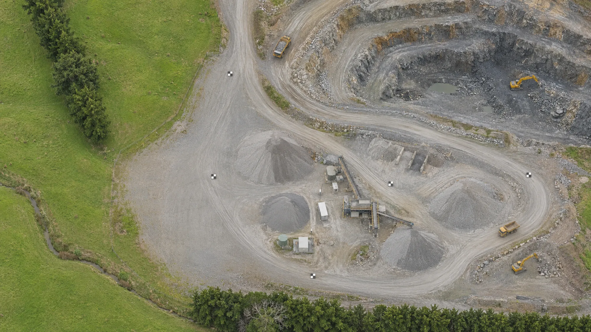
An orthomosaic is a geometrically corrected aerial image of your site — every photo stitched together and rectified so that distances, boundaries, and features all sit in their true spatial position. Unlike a raw drone photograph, an orthomosaic can be used directly as a base layer in GIS or CAD without any further correction.
We process your imagery in Metashape with quality checks at each stage — alignment, dense cloud generation, and ortho export. The finished GeoTIFF loads straight into your software. Where GCPs are supplied, they are integrated to push accuracy further. Orthomosaic generation is included across all processing tiers.
What you get
Georeferenced GeoTIFF
Geometrically corrected orthomosaic with consistent colour and sharp detail stitched across the full site — ready to load into GIS or CAD.
Reliable spatial accuracy
Suitable for planning, reporting, and site documentation. Outputs can be registered to GCPs for higher accuracy when needed.
Quality-controlled processing
Processed in Metashape with QC checks applied at each stage — alignment, dense cloud, and ortho generation.
Ready to use — no extras needed
Drop straight into GIS, CAD, or your reporting workflow. No post-processing or conversion required on your end.
Scalable PDF with design linework
The GeoTIFF can also be exported as a scalable PDF with your supplied design linework overlaid — useful for client meetings, progress reporting, site planning, and on-site reference. Get in touch to discuss this option.