
Surfaces, Terrain & Point Clouds
Survey-grade terrain models, dense point clouds, and 3D meshes from your drone imagery — georeferenced and ready for civil design.
Overview
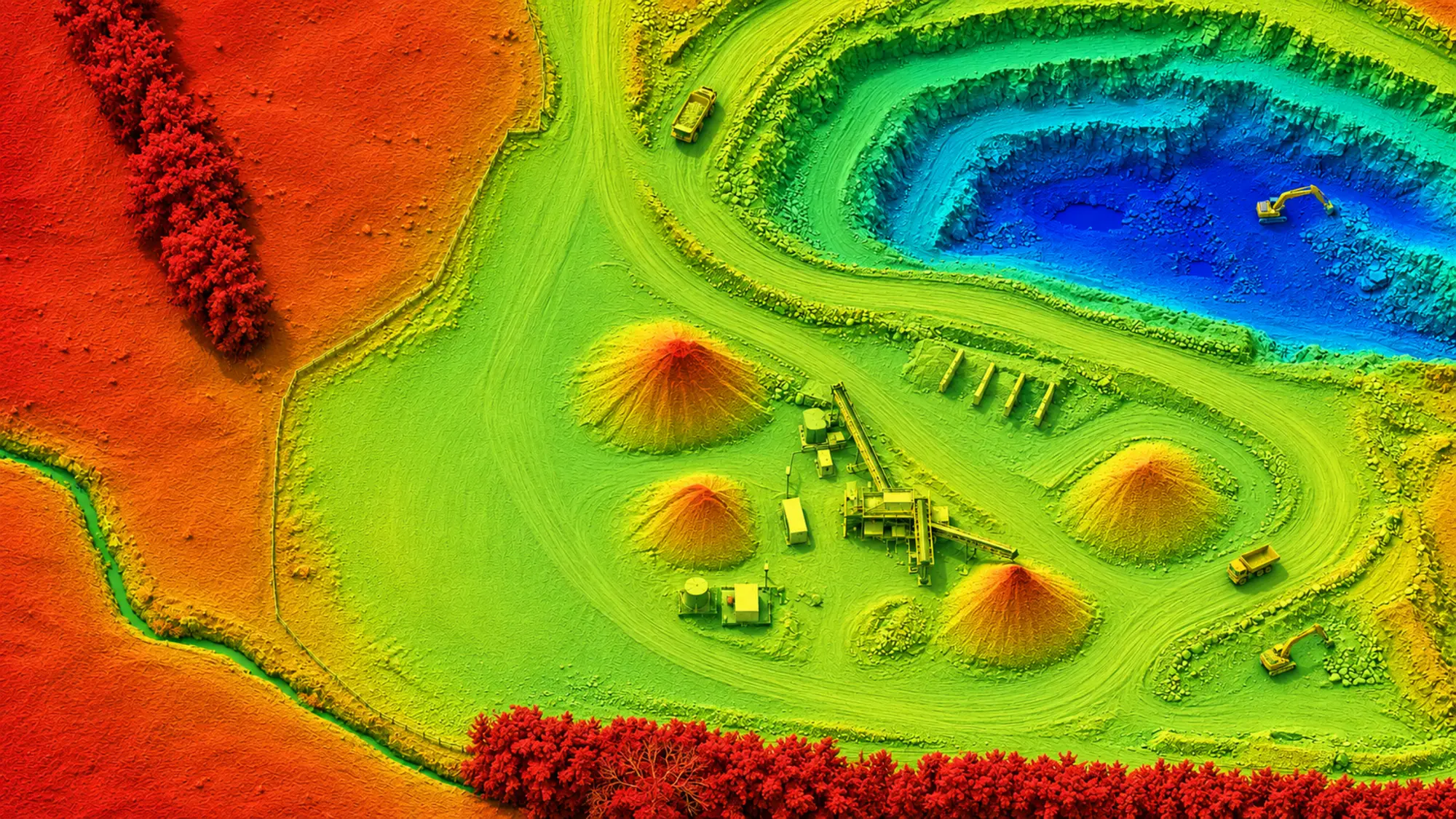
We process your raw imagery through a full photogrammetric pipeline to produce the complete range of 3D outputs your project needs. A Digital Elevation Model (DEM) captures the full site surface as flown — every structure, vehicle, and feature included. A Digital Terrain Model (DTM) takes it further: the point cloud is classified to remove buildings and vehicles, leaving a bare-earth surface for cut/fill and earthworks use.
Alongside the surface models, we produce a dense LAS/LAZ point cloud of the full site and a textured 3D mesh for visualisation and reporting. All outputs are fully georeferenced and delivered ready to load into 12d Model, Civil 3D, or your GIS platform. DEM and DTM are included from the Engineering Survey tier upward.
Deliverables
DEM — full site surface
Captures the complete site as-is: buildings, vegetation, vehicles, and all above-ground features included.
DTM — bare-earth surface
Point cloud classified to remove buildings and vehicles, leaving a bare-earth surface — a snapshot of current site conditions used directly for cut/fill earthworks calculations and topographic assessment.
Dense point cloud (LAS/LAZ)
Full photogrammetric point cloud of the site, processed from your imagery using industry-standard photogrammetry.
Textured 3D mesh
Texture-mapped surface model of the entire site built from your drone imagery — useful for client presentations, progress reporting, and visual documentation.
CAD, GIS & BIM ready
All outputs are optimised for direct use in 12d Model, Civil 3D, GIS, and BIM workflows. No conversion needed on your end.